
The Ultimate Guide to Drone Photography for Real Estate in Maricopa County


In today’s competitive real estate market, standing out is more important than ever, and one of the most effective ways to do so is through drone photography. In Maricopa County, where the real estate scene is bustling, using drones can provide a unique perspective that traditional photography simply can't match. This guide will walk you through everything you need to know about drone photography for real estate in this vibrant region.
Why Use Drone Photography?
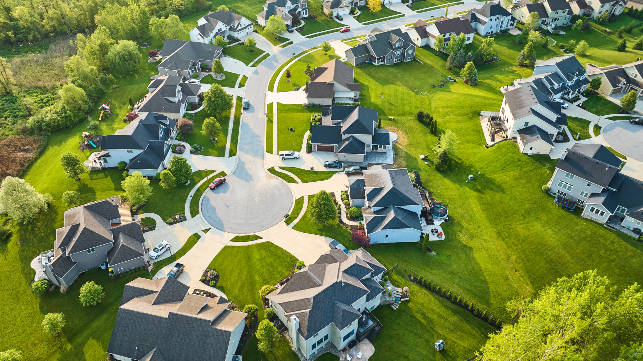
Drone photography offers a bird’s-eye view of properties, capturing the full scope of the land and surroundings. This is particularly beneficial in Maricopa County, known for its stunning desert landscapes and sprawling suburban developments. With drones, potential buyers can get a better feel for the property layout and its relation to nearby amenities.
Moreover, aerial shots can highlight features like swimming pools, gardens, and proximity to parks or schools. In essence, drone photography can enhance the visual appeal of listings, attracting more interest and potentially leading to quicker sales.
Legal Considerations
Before you take to the skies, it's crucial to understand the legal requirements for drone operation in Maricopa County. The Federal Aviation Administration (FAA) mandates that all commercial drone pilots must have a Part 107 license. This ensures that operators are knowledgeable about airspace regulations and safety protocols.
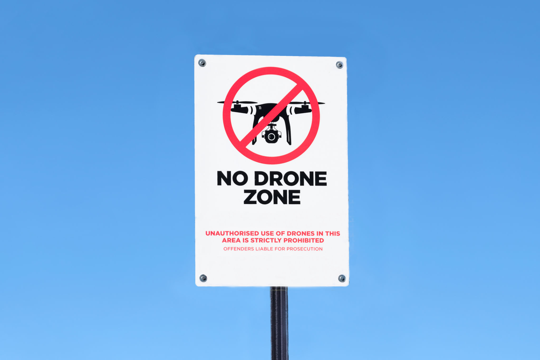
Additionally, some areas may have specific restrictions or require permits for drone flights, especially if they are near airports or in densely populated zones. Always research local ordinances and ensure compliance to avoid fines or legal issues.
Choosing the Right Drone
Selecting the appropriate drone is essential for producing high-quality images. Consider factors like camera resolution, flight time, and stability. Drones equipped with 4K cameras and gimbals for stabilization are ideal for capturing crisp, professional-grade photos and videos.

Furthermore, some drones offer advanced features such as automated flight paths or obstacle avoidance, which can be particularly useful for beginners or complex shoots. Investing in a reliable model will pay off in terms of image quality and ease of operation.
Tips for Capturing Stunning Images
To make the most of your drone photography sessions, timing and weather conditions are key. Early morning or late afternoon often provide the best lighting with soft shadows and vibrant colors. Avoid shooting on overly windy days, as this can affect stability and image clarity.
- Plan your shots: Outline the key features you want to highlight and plan your flight path accordingly.
- Use manual settings: Adjust settings like ISO, shutter speed, and aperture to control exposure and achieve desired effects.
- Experiment with angles: Capture shots from various altitudes and angles to find the most flattering perspectives.
Editing and Post-Production
Once you have your shots, editing can enhance them further. Software like Adobe Lightroom or Photoshop allows you to adjust colors, contrast, and sharpness to make your images truly pop. Don’t overdo it; the goal is to maintain a realistic representation of the property.
Also consider creating short video tours using your footage. Video content is increasingly popular in real estate listings and can provide an engaging way to showcase properties.

Conclusion
Drone photography offers a dynamic way to elevate real estate listings in Maricopa County. By understanding legalities, choosing the right equipment, and honing your skills, you can create compelling visual content that captures potential buyers’ attention. Embrace the skies and watch your real estate marketing soar to new heights!